Wildy Logo
(020) 7242 5778
enquiries@wildy.com

Book of the Month

Cover of Spencer Bower and Handley: Res Judicata

Spencer Bower and Handley: Res Judicata

Price: £449.99

Lord Denning: Life, Law and Legacy


Welcome to Wildys

Watch


NEW EDITION Pre-order The Law of Rights of Light 2nd ed


 Jonathan Karas


Offers for Newly Called Barristers & Students

Special Discounts for Newly Called & Students

Read More ...


Secondhand & Out of Print

Browse Secondhand Online

Read More...


This book is now Out of Print.
A new edition has been published, the details can be seen here:
Postcode Atlas of Britain and Northern Ireland isbn 9780007443079

Postcode Atlas of Britain and Northern Ireland


ISBN13: 9780007312009
New Edition ISBN: 9780007443079
Published: April 2009
Publisher: Collins Geo
Country of Publication: UK
Format: Hardcover
Price: Out of print


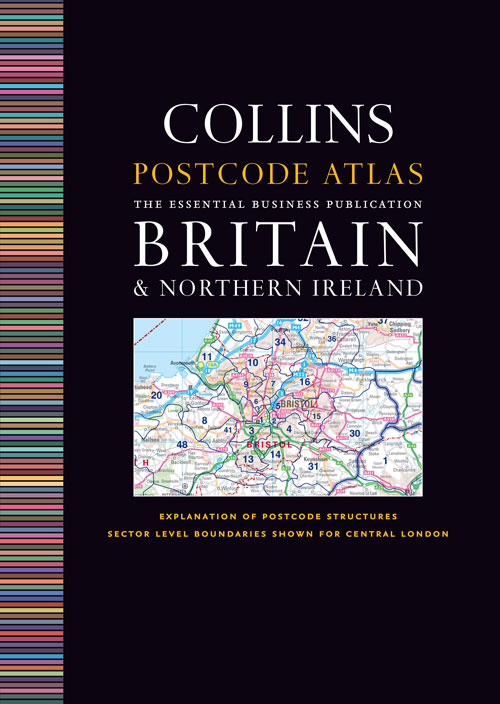
An essential business tool, this atlas clearly shows the postcode boundaries (down to district level) for the whole country on detailed colour mapping. In central London postcodes are shown to sector level.

The atlas covers the whole of the UK and has been updated with all the latest boundary changes.

  • Shows postcode areas (e.g. SW) and postcode districts (e.g. SW8) for the whole of the UK.
  • Central London is shown down to sector level (e.g. SW8 4).
  • Busy conurbation areas are shown at an enlarged scale of 1.6 miles to 1 inch
  • Information on the structure and uses of postcodes.
  • Gazetteer listing and a full colour map of the administrative areas incorporating administrative changes happening in April 2009.
  • Full index to place names.
  • Index to postcode abbreviations.
  • Comprehensive background map detail which means the atlas can also be used for route planning and navigation.
  • Main Maps 1:263,000 (4.15 miles to 1 inch).

Subjects:
Reference